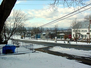
Shoreham, Vermont, New England USA
About Shoreham, Vermont
Addison County
Chartered: October 8, 1761 (New Hampshire Grant)
Area: 29,521 Acres = 46.13 Square Miles [ Size Rank: 51* ]
Coordinates (Geographic Center): N 43° 54′ W 73°18′
Altitude: 396 feet ASL
Population (US Census, 2010): 1,265 [ Population Rank: 128* ]
Population Density (persons per square mile): 27.4 [ Density Rank: 158* ]
Full Census Info: Town County State
*Area, Population and Density rankings refer to Shoreham’s relative position among Vermont’s 255 civic entities (9 cities, 242 towns, 4 gores and grants). Complete rankings are here.
Shoreham was granted the day before neighboring Bridport and to many of the same men, one of whom was Colonel Ephraim Doolittle. The Colonel was a Connecticut man who had served under General Amherst during the French and Indian wars, and had taken part in the British capture of Fort Ticonderoga, which is across Lake Champlain just south of Shoreham. He had also worked on the construction of the Crown Point Military Road from what is now Charlestown, New Hampshire to Crown Point (across Lake Champlain from Bridport) in 1759, much of which road survives as today’s Route 103. Apparently Colonel Doolittle was very much impressed with the fertile and rolling lands along Lake Champlain.
Many of the men who are named in the Shoreham and Bridport grants had served with Colonel Doolittle in Vermont, so they, too, knew what kind of land they were getting. The last of the French and Indian wars delayed their making a settlement, but in 1766 a group of them broke ground for their first crops near what is now known as Mutton Hill. Child’s Gazetteer of Addison County in 1882 mentions that these settlers lived for a time according to the “Moravian Plan,” holding all property in common and sharing equally in the work.
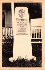
It has been said that the name of Shoreham is derived from the town’s shore location on Lake Champlain. A more probable explanation is that it was named for the English town of Shoreham-by-the-Sea, about halfway between Bristol and Portsmouth on the English Channel, in Benning Wentworth’s time especially noted as a boat-building center. In many of the earliest records for Vermont’s Shoreham the name is spelled Shorum, reflecting what is still the locally accepted pronunciation.
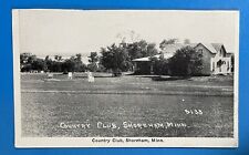
Activities & Points of Interest
Goings-on in and near Shoreham
Calendar of Events provided by the Vermont Department of Tourism & Marketing.
Covered Bridge (With Google Maps and satellite images):
Rutland Railroad
Click Here for a map of all bridges in Addison County.
Contact Info
Emergency Services (Statewide): 911
Hospital: Porter Medical Center (Middlebury) 802-388-7901
Town Clerk: Amy Douglas 297 Main St Shoreham, VT 05770
802-897-5841
M T Th F 9-12 and 1-4
Churches, Ministries, Charitables
Roman Catholic : St. Genevieve
United Church of Christ : United Church of Christ
Schools
Addison Central Supervisory Union 802-382-1274
Shoreham Elementary School 802-897-7181
Neighboring Towns
This is a basic geographic reference, intended to show relative location of adjacent towns. Directional accuracy is limited to 16 compass points. There isn’t even the slightest suggestion that one can necessarily travel directly from one town to the next (as in “You can’t get there from here”).
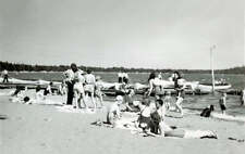
Lake Champlain
Utilities
Notes about utilities:
- One electric or phone company indicates that company serves the entire town. More than one of either indicates each serves different areas of town.
- A listed cable company MIGHT mean the entire town is covered, but not necessarily. More than one listed indicates each serves different areas of town.
- Unless your area is one served by Vermont’s only gas utility, your only option is bottled gas (any dealer).
Electric Green Mountain Power 888-835-4672
Telephone Shoreham Telephone 802-897-9911
Telephone Waitsfield & Champlain Valley Telecom 802-496-3391