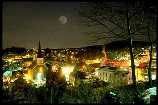
Montpelier, Vermont, New England USA
About Montpelier, Vermont
Washington County
Chartered: August 14, 1781 (Vermont Charter)
City Incorporated: March 5, 1895
Area: 6,567 Acres = 10.26 Square Miles [ Size Rank: 242* ]
Coordinates (Geographic Center): N 44° 15′ W 72°34′
Altitude: 523 feet ASL
Population (US Census, 2010): 7,855 [ Population Rank: 13* ]
Population Density (persons per square mile): 765.6 [ Density Rank: 7* ]
Full Census Info: City County State
*Area, Population and Density rankings refer to Montpelier’s relative position among Vermont’s 255 civic entities (9 cities, 242 towns, 4 gores and grants). Complete rankings are here.
Montpelier was selected as the capital of Vermont in 1805 after considerable squabbling among many towns; there had been no permanent capital since becoming a state 14 years earlier. For a time, the capital alternated from one side of the state to the other. In the end, Montpelier’s proximity to the geographic center of the state was a principal deciding factor.
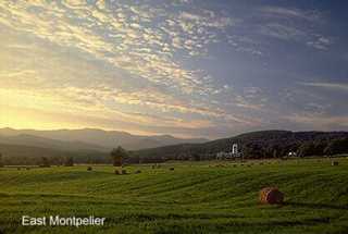
After construction of the capitol building in what was then the village of Montpelier, village residents began to agitate for a separate identity. In 1848 the Legislature divided the original town in two: Montpelier and East Montpelier. The former got most of the people, the seat of state government and the choice river valley location; the latter got most of the land but little else. In 1895, the Town of Montpelier was further incorporated as a city.
Several branches of the Winooski River merge within the city limits, and Montpelier residents had no small part in the name by which we know it today. The river itself takes its name from the Abnaki Winooski (“the wild onion place”) and Winooskitook(literally “the wild onion river.”). French explorers had rendered it as Ouinousqui, which was the best they could do for what they would have heard as “Weenooskee”. For a time it was called “French River”.
In all of the New Hampshire Grants where the name was mentioned, the phrase “so-called” was inserted after Onion River, so it seems there was at least some uncertainty over what it should actually be named. When the Allens got to looking around for land, they didn’t want anyone reminded of the French and Indian troubles, so they opted for the Onion River name, and called their land corporation the Onion River Company.
By the middle of the 19th Century, Montpelier residents were fretting over the fact that their town was coming to be known as “Montpelier-on-the-Onion,” and started a campaign to re-establish the Winooski name. As a result, both Child’s and Beers’ maps of the 1880’S carried the legend “Winooski or Onion River.”
Activities & Points of Interest
Goings-on in and near Montpelier
Calendar of Events provided by the Vermont Department of Tourism & Marketing.
Contact Info
Emergency Services (Statewide): 911
Police (non-emergency): 802-223-3445
Hospital: Central Vermont Medical Center (Berlin) 802-229-9121
City Clerk: Charlotte Hoyt 39 Main Street Montpelier, VT 05602
802-223-9500
M-F 8-4:30
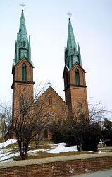
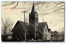
Churches, Ministries, Charitables
Episcopal : Christ Church 802-223-3631
Roman Catholic : St. Augustine
United Church of Christ : United Church of Christ
Schools
Montpelier School District 802-223-9796
Washington Central Supervisory Union 802-229-0553
Main Street School 802-223-3404
Montpelier High School 802-225-8000
U-32 High School 802-229-0321
Union Elementary School 802-223-6343
Neighboring Towns
This is a basic geographic reference, intended to show relative location of adjacent towns. Directional accuracy is limited to 16 compass points. There isn’t even the slightest suggestion that one can necessarily travel directly from one town to the next (as in “You can’t get there from here”).
Montpelier
Notes about utilities:
- One electric or phone company indicates that company serves the entire town. More than one of either indicates each serves different areas of town.
- A listed cable company MIGHT mean the entire town is covered, but not necessarily. More than one listed indicates each serves different areas of town.
- Unless your area is one served by Vermont’s only gas utility, your only option is bottled gas (any dealer).
Cable Comcast 800-266-2278
Electric Green Mountain Power 888-835-4672
Telephone Fairpoint 866-984-2001